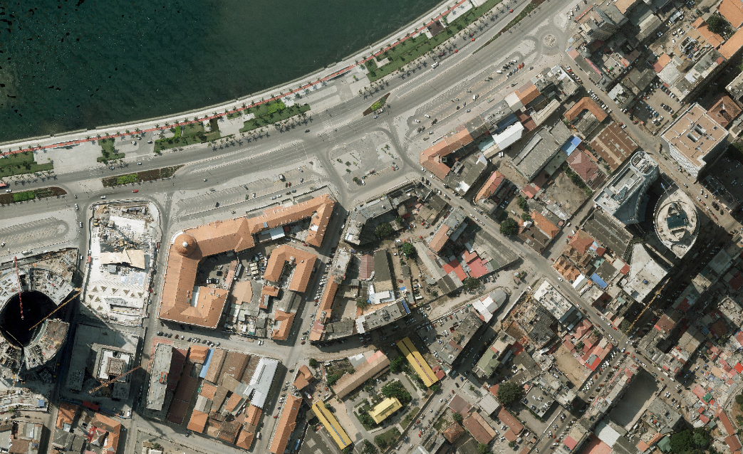
Geodata: organizing the national urban growth
Geodata’s program ‘Urban Cadastre’ main detected problem in Angola is: the disordered urban growth that allows fraud, deprives State budget from real estate tax revenues and prevents families from having access to house credit for not having registering property rights.
From this point, Geodata main activities encompasses the redefinition of land registry legislation, training of public officials, construction of a national database and integrated registry system(including Cadastre and other IT solutions in GIS (Geographic Information System).
Its’ intended impact, therefore is to promote the legal and organized urban grown and national real estate market with adequate protection of owners’ rights.
Up to date, more than 50.000 families allowed to have access to credit by registering property rights.
View complete ToC
